Instructions to use hvbrt/controlearth with libraries, inference providers, notebooks, and local apps. Follow these links to get started.
- Libraries
- Diffusers
How to use hvbrt/controlearth with Diffusers:
pip install -U diffusers transformers accelerate
import torch from diffusers import DiffusionPipeline # switch to "mps" for apple devices pipe = DiffusionPipeline.from_pretrained("hvbrt/controlearth", torch_dtype=torch.bfloat16, device_map="cuda") prompt = "Astronaut in a jungle, cold color palette, muted colors, detailed, 8k" image = pipe(prompt).images[0] - Notebooks
- Google Colab
- Kaggle
| license: apache-2.0 | |
| # Model description | |
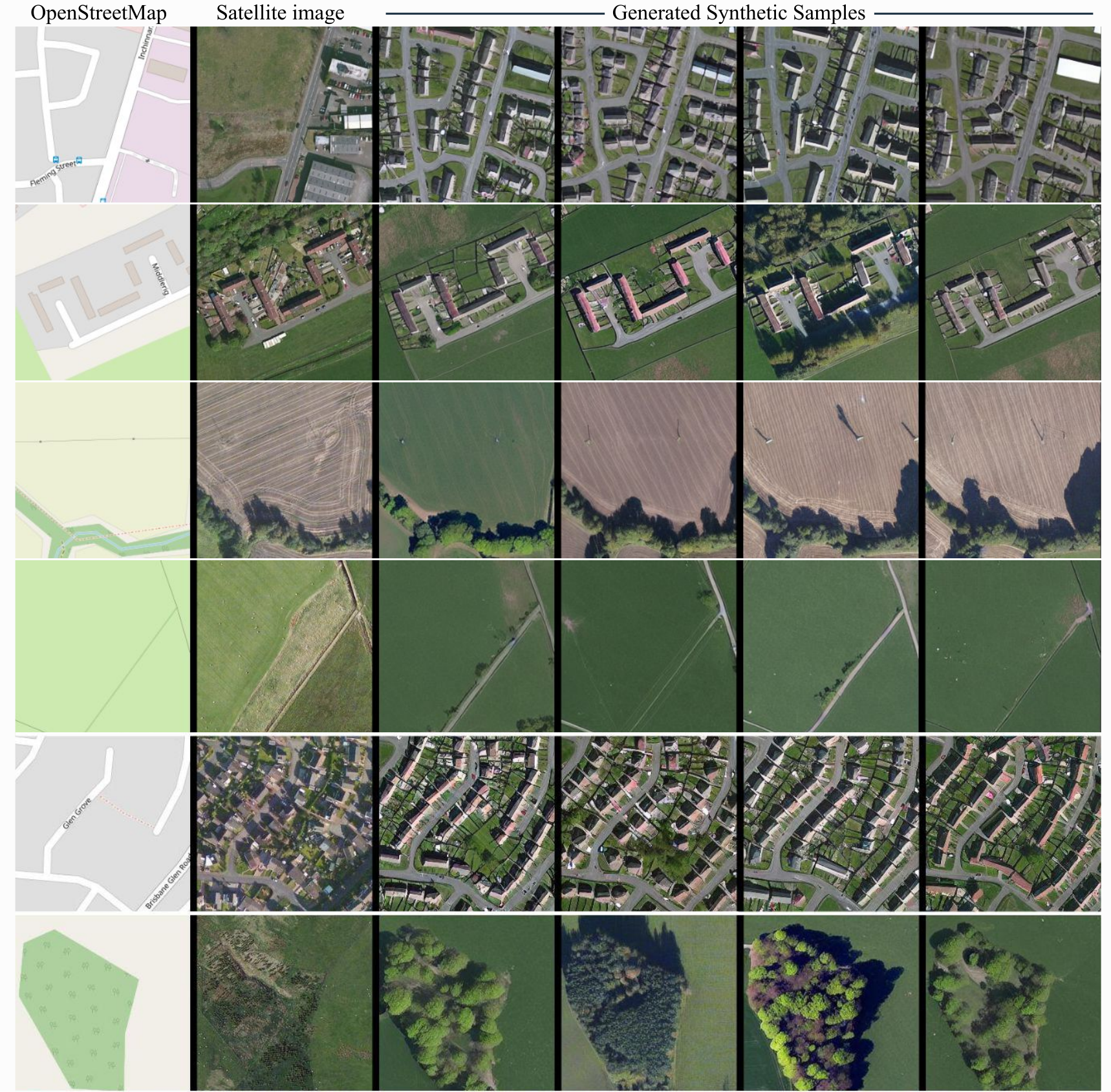
| ControlNet model conditioned on OpenStreetMaps (OSM) to generate the corresponding satellite images. | |
| Trained on the region of the Central Belt. | |
| ## Dataset used for training | |
| The dataset used for the training procedure is the | |
| [WorldImagery Clarity dataset](https://www.arcgis.com/home/item.html?id=ab399b847323487dba26809bf11ea91a). | |
| The code for the dataset construction can be accessed in https://github.com/miquel-espinosa/map-sat. | |
|  |